 |
| Goat Mountain |
Overview
Goat
Mountain is in the Front Range of Colorado. This was my first ascent of Goat
Mountain, with other climbs in the area being Carpenter
Peak, Bill
Couch Mountain, Plymouth
Mountain, and Deer
Creek Canyon Park. This area is fairly popular with the trailhead location
being just south of the Denver area, allowing all vehicles access. I would
guess that Goat Mountain receives few climbers with the majority of outdoor
enthusiasts keeping to the Waterton
Canyon Trail. This area is accessible in all seasons. The climb of this
summit offers great foothills views with a chance to see some big horn sheep. I
hope you enjoy this trip report and find it helpful in planning your next
adventure in the hills.
Directions/Trailhead Information
The Waterton Canyon Trailhead is located at—latitude
39.491238°, longitude -105.093659°. There is a large parking area that will
accommodate about 100 vehicles. There are restrooms at the trailhead. From the
Denver area make your way to the intersection of CO-470 W and CO-121 S/S
Wadsworth Blvd in Columbine. Take the CO-121
S exit heading south, follow CO-121 S
for about 10 miles to Waterton Rd.
Turn left (southeast) on Waterton Rd
and follow for about 4.7 miles to the trailhead. The trailhead will be on the
left (east) side of the road. The road is paved all the way to the trailhead
making this accessible for all vehicles.
The Climb
The climb of
Goat Mountain is pretty straightforward. There is an unofficial trail that leads
to the summit from the trailhead. From the trailhead follow the Waterton Canyon Trail across Waterton Rd. This will resemble more of
a road than a trail at this point. Follow the Waterton Canyon Trail for approximately 1.2 miles to the
coordinates: 39.483907° latitude, -105.112163° longitude. At this location
there are some overhead pipes going over the main trail, you will need to find
a trail splitting off to the right of the main trail heading north up through
some rocks and vegetation. Once on this trail you will follow it all the way to
the summit.
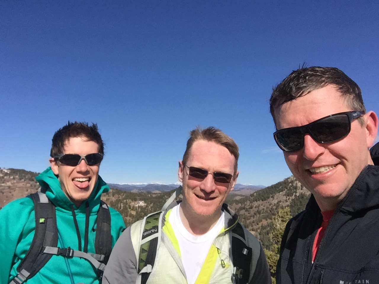 |
| Will, Cole, and Nick on the summit of Goat Mountain |
There is an initial
climb to get you onto the eastern ridge, then the trail mellows into a more
gradual climb. The trail is easily identifiable and would be a good place to
trail run, hike or snowshoe. I was trying out some new trail runners for this
climb, and they were a better option than hiking boots I my opinion. The trail
passes through a few different types of environments, from dense almost willow
like trees, open ridge, and exposed rock. At just over 3.5 miles to the summit,
you get a good climb in for being a foothills mountain. Don’t expect it to be
as easy as its neighbors to the north in the Deer Creek Canyon Park. The summit
is rock capped and offers great views of the southern Denver metro area. This
is a yo-yo route, so just follow the trail back down to the trailhead.
Parting Notes
This is a
good training hike that is close to town. I will most likely come back to its
summit again in the future. The Waterton Canyon Trailhead is very busy, but once
you are off the main trail you might only see a handful of people along the trail
that leads to the summit. Until next time, cheers!
 |
| GPS Track |
Date: March 4,
2017
Trailhead
Elevation: 5,497 feet
Goat
Mountain: 7,785 feet
Total
Ascent: 2,270 feet
Class: 2
Distance: 7.4
miles
Moving Time:
2 hr 52 min
Stopped
Time: 1 hr 24 min
Climbing
Partners: Cole, Will
GAIA GPS
Link: Goat
Mountain (2016-03-04)
No comments:
Post a Comment