 |
| Mount Galbraith |
Overview
Mount
Galbraith Park is a great all-season area to go hiking, and running. This is my
first visit to the park, though I expect more visits in the future. There are
only a few trails that compromise the park area, my trip was from the north
entrance, there is also an entrance on the east side. I will caution you that
there may be icy sections of the trail on the north side of the park, so
packing along some micro spikes in the winter months may be a good idea. I hope
you enjoy this trip report and find it helpful in planning your next adventure
in the hills.
Directions/TH Information
 |
| Golden and Denver |
Mount
Galbraith Park Trailhead has an approximate location at the
coordinate’s—latitude 39.773424°, longitude -105.254050°. This is a Jefferson
County Open Space Park, where more information such as additional trails and
park regulations can be found at—Mount Galbraith Park.
From your location make your way along CO-93
N to Golden Gate Canyon Rd near
Golden. Head west following Golden Gate
Canton Rd for 1.3 miles turning left into the marked parking lot of Mount
Galbraith Park. There is a small parking lot with restrooms, and an information
booth with printed maps of the park. The parking lot is quite small, it may
hold 20 cars and there is no parking allowed along Golden Gate Canyon Rd. This appears to be a heavily trafficked area
and I would expect the lot to be full on weekend days at an early hour.
 |
| Mount Galbraith |
The Climb
Today’s
objective was to ascend Mount Galbraith from the north park entrance. I wasn’t sure
on the mileage or approximate elevation gain, but my goal was to complete the
climb car-to-car in two hours. I dropped Alexa off at day care and was ready to
start my hike about 11 AM. I headed up Cedar
Gulch Trail, which had extensive patches of ice making progress slow in
places. Micro spikes would have been handy in a few spots, but the trail could
be managed without them. The trail seemed like it was getting a lot of use for
a weekday, but this may be a fairly popular area being right outside of Golden.
After 1.3 miles the trail intersected with the Mount Galbraith Loop Trail.
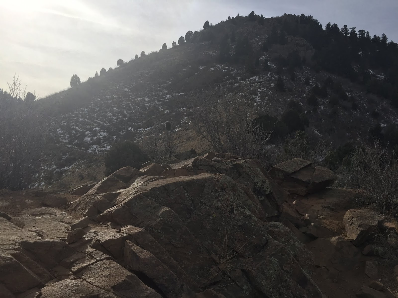
The Mount Galbraith Loop Trail as you may
expect loops around the mountain. This section of trail was really good hiking.
There were narrow rock sections and open forested sections to offer a nice mix.
I took the trail to the right, heading north around the loop. That’s the
direction I would recommend as there are some steeper sections in the rocks
that may be better ascended rather than descended, but that’s all personal
choice. Near the intersection of the southwest ridge there is an unmarked trail
on the map, but the GAIA map shows the trail that leads to the summit. This was
a nice stroll to the top through some neat pegmatite veins that sparked my
geologic curiosity at bit.
 |
| Me on the summit |
After a few minutes
on the summit I headed down the trail toward the southeast ridge of the
mountain. This unmarked trail eventually intersected the Mount Galbraith Loop Trail which I followed back to the
intersection of the Cedar Gulch Trail.
I noticed the nice trail to the east called Nightbird
Gulch Trail with an unnamed trail heading up to a point of interest. I will
check out this trail next time I come to the park. The hike down the sections
of ice-covered trail were more challenging than on the ascent, but they were
over quickly and I was soon back to the car. My roundtrip time was 1 hour and
52 minutes, so I reached my goal of completing the hike in under two hours. I
was happy with my performance, and feel I’m progressing in my training to climb
bigger mountains in the near future.
Parting Notes
This is a
great place to recreate. The small parking lot could be an issue during busy
times such as the weekends, but this is a park worth coming back to and
exploring in greater detail. I may try and get out on the Dinosaur Ridge
hogback tomorrow, but if not, there should be something coming down the
pipeline soon. Until next time, cheers!
 |
| GPS Track |
Date: January
9, 2019
Trailhead
Elevation: 6,296 feet
Mount
Galbraith: 7,247 feet
Total
Elevation Gain: 976 feet
Class: 1
Distance: 4.3
miles
Moving Time:
1 hr 43 min
Stopped
Time: 0 hr 8 min
Climbing
Partner: Solo
GAIA GPS
Link: Mount
Galbraith (2019-01-09)
Jefferson
County Open Space Map Link: Mount
Galbraith Park
No comments:
Post a Comment