 |
| Nick and the pyramid of Fletcher Mountain (C.Archer photo) |
Overview
Fletcher
Mountain is in the Tenmile Range of Colorado. In the past I have climbed the
nearby peaks—Quandary
Peak, Pacific
and Atlantic Peaks, and Drift Peak;
this will be my first ascent of Fletcher Mountain. I imagine this is a fairly popular
climb due to its location near Breckenridge as well as it being short in
mileage. This area is accessible in all seasons, but this would be a tough
climb in the winter months, where avalanche danger may pose a considerable risk.
The website 14ers.com has a route page
describing the Fletcher
and Drift Mountain Traverse that can be used as an additional information
source in your planning of this climb. The climb to the summit is all above
tree line, offering great alpine views with possible mountain goat sightings. I hope you enjoy this trip report and find it
helpful in planning your next adventure in the hills.
Directions/Trailhead Information
 |
| Draw heading into rock glacier country (C.Archer photo) |
The Blue Lakes Trailhead is located at—latitude 39.386688°, longitude -106.100326°. There is a small parking area that will accommodate about 30 vehicles at the end of the road. There are no restrooms at the trailhead. There are two options to approach the trailhead from the Denver area—US Hwy 285 S and I-70 W, these directions will approach
from I-70 W. From the Denver area
make your way to exit 203 at the
intersections of I-70 W and CO-9 S. Follow CO-9 S for approximately 18 miles to Blue Lakes Rd. Turn right (west) and follow Blue Lakes Rd for approximately 2.2 miles to the Blue Lakes Trailhead. Blue Lakes Rd is a rough dirt road, but
does not require 4WD. I would say this trailhead is accessible to all vehicles.
 |
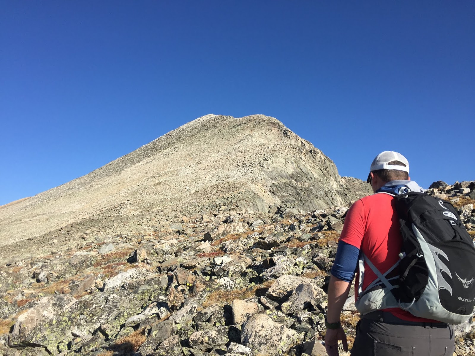
| Nick making his way through the rocks (C.Archer photo) |
The Climb
The ascent
of Fletcher starts from the Blue Lakes
Trailhead. There are a few random trails that make their way around the reservoir
so it may be a little tricky making sure you are on the correct path. None of
these are official trails, therefore they are not maintained. They are kept up
by foot traffic from everyday climbers such as ourselves. From the Northern
point of the dam a trail will start, within a few hundred feet there will be a
split, take the higher trail and avoid following the low trail around the
waters edge. This trail will start to cut across the southern flanks of
Quandary Peak. After crossing the initial rock glacier that feeds all the way
into the reservoir, the trail will start heading up a draw between Fletcher
Mountain and Quandary Peak.
 |
| Southern view from Fletcher Mountain (C. Archer photo) |
There is a
cut-in creek drainage that parallels the edge of the southwest rock glaciers
from Quandary Peak, the trail mirrors the creek as you start gaining elevation.
Eventually the rock glaciers from the west and east merge and from there you
will lose the creek for the majority of the remainder of the climb. As you
continue to make your way up the route, the path makes a northwest bearing
rather than heading directly the to the saddle separating Fletcher and Quandary.
Once you gain the alpine tundra plateau out of the cirque there is a short walk
to the base of the Fletcher pyramid. As you make your way to the pyramid, stick
to the southeast ridge and follow that directly to the summit.
 |
| View north from Fletcher Mountain (C.Archer photo) |
Some
adventurous people will attempt to combine Drift Peak with Fletcher as we attempted.
We did not succeed in combining the two. I was a little uncomfortable with the
last push up Drift. I will not give any advice to this route as I cannot guarantee
we were on the best line to ascend the summit of Drift. You can see the route
we were on by looking at the GPS Track below. If you are just out to climb
Fletcher, I would descend the same line you used for the ascent.
Parting Notes
The data below
reflects the attempt of adding Drift Peak with Fletcher Mountain. We did not
complete this addition, but came very close to doing so. Keep this in mind as
the time, distance, and elevation gain will not accurately reflect data for
only climbing Fletcher Mountain. This was a great climb that travels through
some beautiful alpine tundra, as well as beautiful geologic structures. Some
day I will probably come back to complete the traverse from Fletcher to Drift, though
it is not on my list of climbs to complete anytime soon. Until next time,
cheers!
 |
| GPS Track |
Date: September
3, 2017
Trailhead
Elevation: 11,707 feet
Fletcher
Mountain: 13,907 feet
Total
Elevation Gain: 2,277 feet
Class: 2
Distance: 5.4
miles
Moving Time:
4 hr 41 min
Stopped
Time: 2 hr 26 min
Climbing
Partner: Cole
GAIA GPS
Link: Fletcher
Mountain (2017-09-03)
No comments:
Post a Comment