 |
| Mount Trelease |
While on my hike today I had thought whether I wanted to share
this trip report with others or not.
Sometimes it takes a long time to find a classic hike and when you do
you just don’t want the secret to get out.
Today was one of those classic hikes, and probably my favorite hike thus
far while living in Colorado. I was
undecided how far I wanted to take this route since there are many options so I
was ready for an adventure. I ended up
hiking Mount Trelease and Golden Bear Peak and making a nice loop down into the
Loveland Ski Area.
There are multiple ways to access these mountains; the route
I chose was to start from Dry Gulch TH.
To get to the TH, drive I-70 west and take exit 216. When coming down the exit ramp take the
immediate right onto a dirt road. If you
go under the bridge you have gone too far.
Follow this dirt road about half mile to a closed gate, park along the
road. There is no TH sign here, but if
you heading up the East Ridge Route on Trelease you are in the right
place. Some people do these mountains from
the Loveland Ski Area, if you want to do that just follow my route in reverse,
but I would recommend doing it the way I did it today.
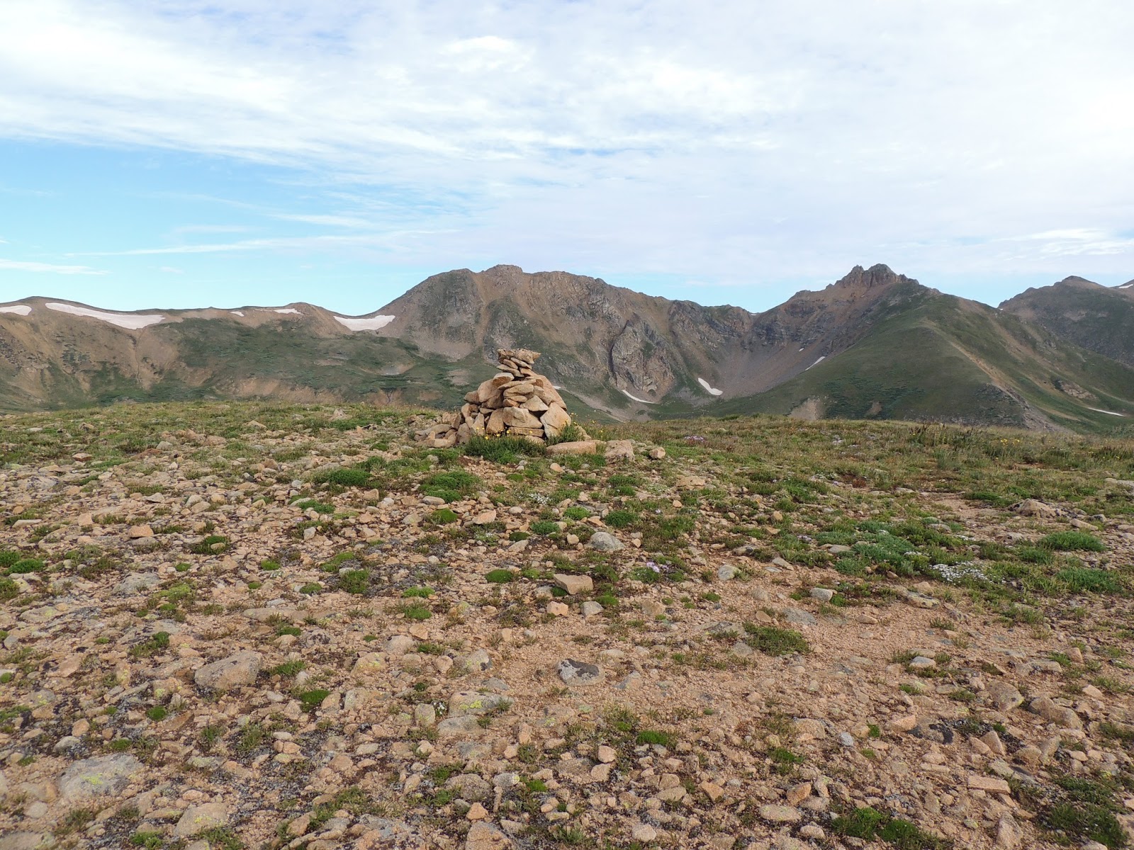 |
| Summit of Mount Trelease |
I arrived at the TH right around 7am, and was the only one
on a crisp Monday morning. Walk around
the gate and head up the road, not too far maybe half mile there will be a rock
cairn on the left and a ski shack on the right side of the road. You will see a faint old road heading up the
East Ridge, follow the road, it is more of a trail now. The hiking is steep, and my calves were
tightening up almost immediately. I took
it one step at a time and was making good progress in the way of
elevation. There was fresh dew or a rain
from the previous night covering all the plants so my shoes and lower legs were
all wet. It was a good way to start the
day. When the road started to level out
a bit and I could see the rocks from the false summit I cut off from the road
and started making my way through the openings in the trees. Along this first section I had an owl buzz me
and a ptarmigan flew up into a tree, so the birdlife was active this morning.
 |
| The Citadel |
The walk through the forest was great. Unlike my hike on Otter where the
bushwhacking was almost unbearable, this was a nice walk through the
woods. The area was open and I could
easily stick to the East Ridge. As the
trees started clearing the rocks came alive.
All of my geology friends would really have loved this hike. There was some great metamorphic and igneous
rocks to view along much of the ridge.
Now I had past tree line and had to gain a bit to get on top of the false
summit. This area was very steep and
loose bits of scree, so I tried to stay on the solid rock where I could. Like any class 2 hike you just find the way
as you go, no route is truly set and that’s what makes this so much fun. Once getting up the 200ft of the steep loose
stuff I was back on stable ground with a breeze of a walk to the false
summit. There was a small rock cairn
with a geocache inside, so I checked it out and saw I wasn’t too far off from
the true summit of Trelease.
 |
| Ascender Line |
The ridge connecting these two mountains was probably the highlight
of the hike. The rocky ridge got narrow
in areas and wide in others and the rock hopping was fun. I couldn’t ever get tired of looking at The Citadel;
it was so impressive and rightly named.
The marmots were chirping away and what looked like a brown eagle flew
by. It was short lived though, maybe 20
minutes of hiking got me down to the saddle in-between the two mountains.
Once down to the saddle I could peer into the ski area
boundary. The Lift 8 was not too far
off, but that wasn’t the way I was heading.
There was a boundary line in place that resembled a fixed line rope from
a high Himalayan peak. If I had my
ascender I would have been set, I could have followed it directly to the
summit..haha. I had about 700ft vertical
to gain for the summit so I took it a step at a time. The route finding was simple; it was just a
matter of taking the steps. Within a
half an hour from the saddle I had made it to the summit of Golden Bear
Peak. It was about 9:30am, so I made
great time today. I tried to call my dad
to rub it in, since I could get cell service up there, but he wasn’t home. I pulled out some cookies and decided I would
just head down into the ski area and make a nice hike today. I think if I had a climbing partner I would
have head over to Hagar, but better to play it safe while hiking solo.
 |
| Me on the Summit of Golden Bear Peak |
The Continental Divide ridge walk was amazing. Talk about having views all around that never
got old. I could have stayed up there
all day, but I knew eventually I’d have to head back down to my rig. The ridge was gentle covered in rock and
grass. I stayed on the east side so I
could check out the chutes that the skiers head down in the winter time. Ah..no thanks. They actually don’t looks as scary as I
thought they would, and are pretty short lived, I guess you just have to make
the jump over and go from there. I was
eyeing Lift 9 on the cusp of the divide and knew there was a road heading down
that way somewhere. After maybe half
mile on the ridge I saw a nice snow chute and headed that way since the road
was a few hundred feet below it.
This is one of those days that my better judgment probably
came in handy. I would have loved a nice
100ft glissade down this piece of snow just to say I did it in August, but I
figured the walking was easy so no sense in adding unneeded risks. Plus the scree next to the snow was like kitty
litter, so I was down in a few seconds anyway.
I followed the draining creek through some small willows onto a road
that came out near the top of lift 4.
 |
| Sweet Lunch View |
It was time for my PB&J.
I took a short break and marveled at the view heading towards Parnassus
and Bard Peaks. From here I knew it was
just a matter of hiking the road down to the base of the mountain then
following HWY 6 back to my car. I took
my time since I was in no rush today and enjoyed seeing the lay of the ski hill
snow free. As I got lower and lower I
finally passed a pama lift, which I didn’t even knew Loveland had, and in no
time at all was walking through the parking lot at the base of the mountain.
From the Loveland parking lot I just followed the side of
the road back down under the bridge and then down the dirt road to my car. From the parking lot it was about 1.25miles
to where I had parked, not a bad walk and a lot better than I was
expecting. This loop was an amazing hike
and I would highly recommend it to anyone looking for something not technical
and close to Denver. With as close as
this was to home the view were by far the best I have seen in my two years
here. I’m putting this up as one of my
favorite hikes so far, and I’m looking forward to getting back into the area to
climb Bethel, Hagar and The Citadel. Not
all at once of course, but who knows maybe later this week.
*A note to share with non-Coloradans is the section of I-70 from near the first HWY 6 bend on the right of the GPS Track and to the left over the divide is all in the Eisenhower Tunnel, and this is were the Loveland Ski Area is.
*Definitely check out the photo album, there are a few neat panoramas that came out, the link is at the bottom.
 |
| GPS Track |
Date: 8/5/2013
Starting Elevation: 10,560ft
Mount Trelease Summit: 12,461ft
Golden Bear Peak Summit: 13,010ft
Total Gained Elevation: 2,760ft
Class: 2
Distance: 7.84 miles
Time: 4:10 moving, 00:55 stopped.
Climbing Partner: Solo
No comments:
Post a Comment